


Agency: The European Marine Observation and Data Network
Data time period: 2017-Current
Geographic scale: Regional. European Union
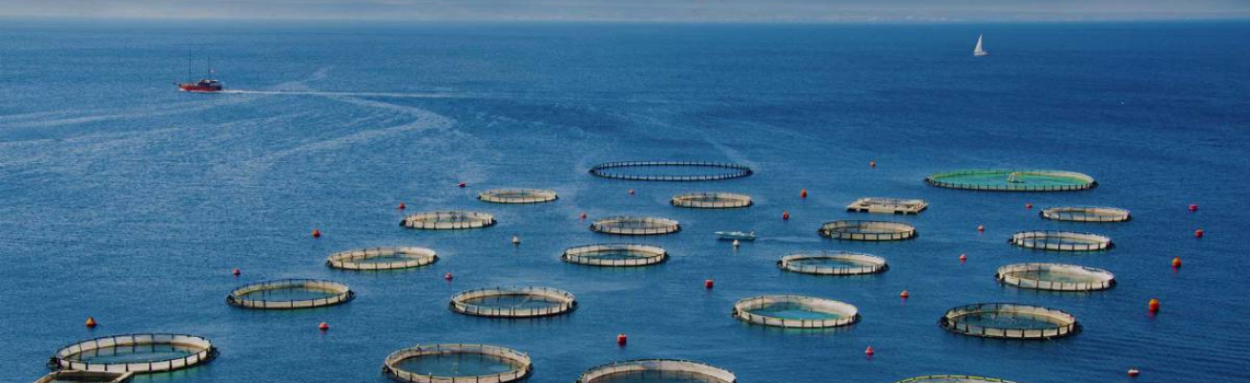
Available data are being used to create multi-resolution maps of all Europe’s seas and oceans, spanning all seven disciplinary themes: Bathymetry, geology seabed habitats, chemistry, biology, physics, and human activities. But also develop a layer of administrative units that includes 14 maps defining different frameworks regarding the maritime sector. Data is available for all European Union members.